
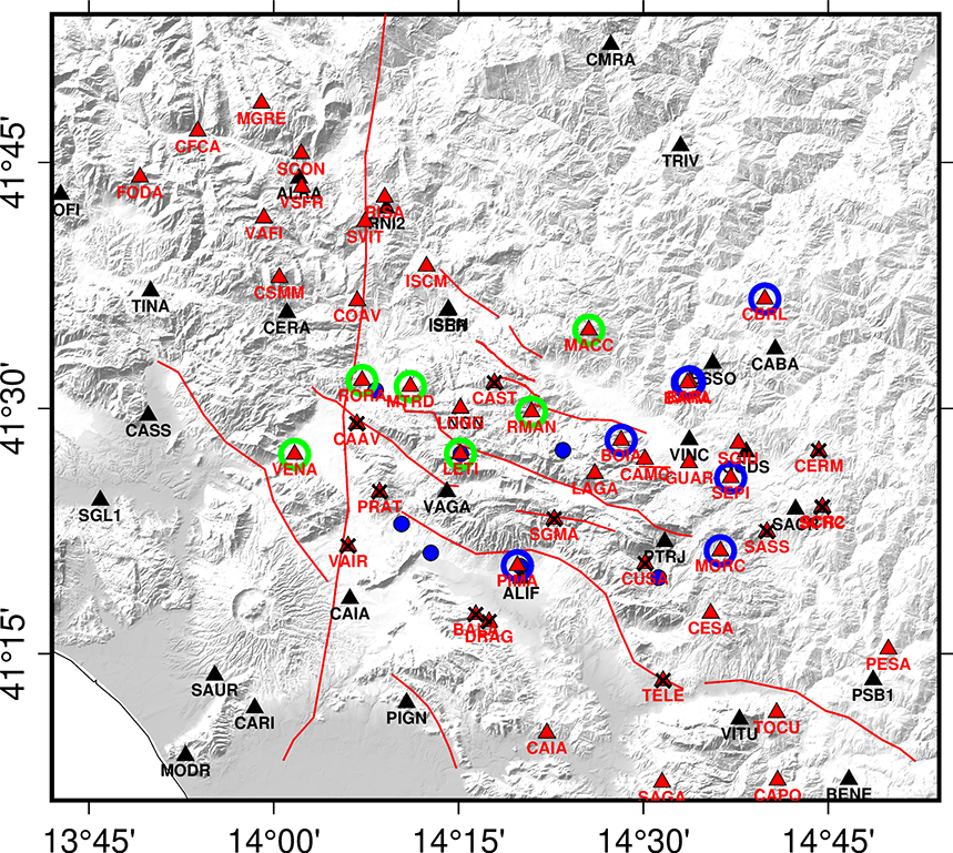
 1 - SAGnet and Rain Gauges Networks
 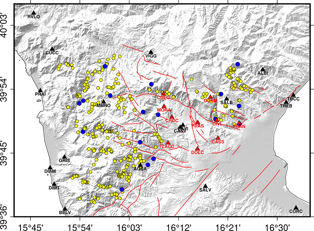 2-PollinoNet and Rain Gauges, and spring Networks...
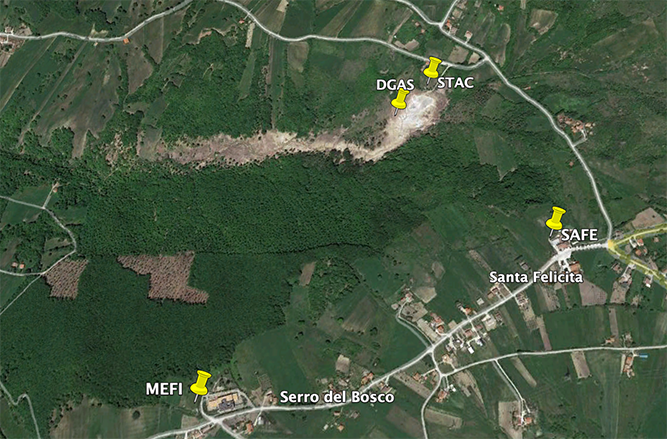 3-Mefite Network
 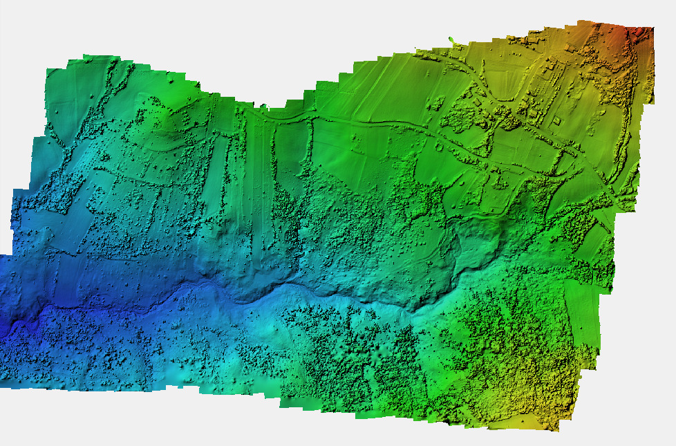 4-Shaded relief map of degassing area
WP4 – Geodesy
Participants: Alessandra Esposito, Fawzi Doumaz, Alessandro Galvani, Mimmo Palano, Grazia Pietrantonio, Federica Riguzzi, Federica Sparacino, Vincenzo Sepe
Aim of the WP
We focus on the GNSS collecting data and their cross-analysis on three target areas of Southern Apennines: Matese area, Pollino area and Mefite D’Ansanto area. We considered CGNSS data and survey – style GNSS data collected on the two non-permanent network deployed layed on the Matese and Pollino areas: the SAGnet network and the Pollino Network respectively. The analysis includes data from regional aquifers. Figs. 1and 2). New selected benchmarks are measured in a semi-permanent mode to monitor the ground deformation.
The two mountain ranges of Pollino and Sannio-Matese host carbonatic aquifers that are thus important test sites to analyze the effects of shallow fluid responses (poroelastic and loading effects) and their role in controlling the occurrence of the seismicity.
A new GNSS network (MefiteNet) consisting of 1 GNSS permanent station (MEFI) and 3 GNSS survey style stations (SAFE, DGAS and BELV) (Fig. 3) will be installed. A photogrammetric approach of Mefite degassing area was performed to obtain a 3-dimensional model (Fig. 4).
In the three target areas, since they are important proxies of the time evolution of aquifer stresses. We apply different statistical approaches using the complete GNSS data set to isolate regional transients and periodic strain variations that can be correlated to local geophysical processes. The full 3D reconstruction of station positions allows us to correlate strain variations with fluid flows. We will detect transient signals by using different codes (e.g. Principal Component Analysis, ICA, Multichannel Singular Spectrum Analysis). Besides additional tools will be developed in order to i) improve the determination of the onset time, geographic extent, and amplitude of a transient signal; ii) compare the GNSS time series with other independent observations (temperature, atmospheric pressure, precipitations, subsurface fluids level and movements, local noise source) (Dong et al., 2006; Gualandi et al., 2016; Silverii et al., 2016; Devoti et al., 2018).